New flood mapping to improve safety and planning
Fraser Coast Regional Council has adopted new flood mapping based on the latest scientific studies to help improve safety, guide development, and keep residents informed about flood risks.
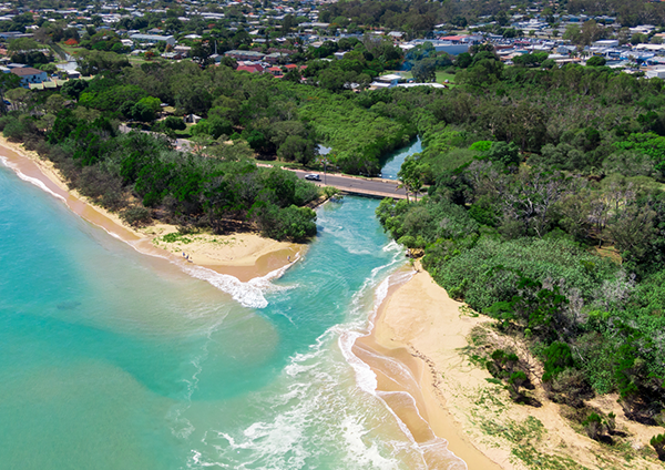
The updated flood information covers six key catchment areas—Bunya Creek, Eli Creek, Tooan Tooan Creek and Lowlands Lagoon, Tinnanbar, Poona, and Maaroom and Boonooroo.
This information will help ensure new buildings avoid flood-affected areas or are designed to reduce and mitigate flood risks. It will be available to residents on the Council’s website, through online mapping, and through property flood certificates.
Development and Planning spokesperson Cr Denis Chapman said the updated mapping is a significant step forward in flood risk management.
“This isn’t about creating new risks—this is about making sure we have the best information to help people plan and build safely,” Cr Chapman said.
“Flood risks have always existed, but by using the latest science, we can provide better guidance to homeowners, businesses, developers, and emergency services.”
The updated flood maps will replace the current flood maps in the Fraser Coast Planning Scheme through a Temporary Local Planning Instrument (TLPI), which allows Council to use the latest flood data while it works on a more permanent planning update.
The TLPI takes effect from 7 March 2025 and will be in effect for up to two years.
“Council is committed to improving the detail and accuracy of flood risk information, based on latest data and science, as that’s the best way to help people make informed decisions and reduce risks over time,” Cr Chapman said.
The new flood information will be available in the coming days through Council’s website at https://www.frasercoast.qld.gov.au/fraser-coast-planning-scheme and through property-specific flood certificates.